
| Model of Hung Yen province’s Master Plan for the 2021–2030 Period, with a Vision to 2050. Photo: Hung Yen provincial Portal |
Hung Yen is shaping its development space to connect the northern industrial and urban areas with the coastal economic zone. Under the provincial master plan for the 2021–2030 period, with a vision to 2050, as adjusted under Decision No.579/QD-UBND, the province has established a structure comprising three regions, two corridors, three longitudinal axes, and four horizontal axes.
The northern growth hub will focus on industry, urban development, services, and high-tech logistics, while the eastern and southeastern coastal areas are oriented towards energy, processing and manufacturing, seaport logistics, and marine services.
Connecting these growth hubs requires a transport network that links production sites with transport hubs and markets. Roads under construction and in the pipeline are therefore expected to do more than meet travel demand; they will also help shape the province’s industrial, urban, and coastal economic space.
A key project on the interregional transport network is Ninh Binh–Haiphong Expressway, which runs approximately 33.3km through Hung Yen. Construction began in May 2025, with the route expected to be substantially completed in 2027 and opened to traffic in 2028. Once operational, the expressway will facilitate freight transport between production centres in the Red River Delta and the northern coastal region.
Within the province, the road connecting Thai Binh and Pho Hien wards stretches approximately 24.8km, with total investment of around $197.1 million. The project is expected to improve connectivity between the eastern area and the northern centre.
In the coastal area, five arterial roads connecting functional zones within Thai Binh Economic Zone have a combined investment of more than $126.3 million. These routes are expected to improve infrastructure serving production and service activities.
Hung Yen is also studying investment in an approximately 89-km north–south boulevard linking the northern and southern parts of the province and extending towards the sea. On September 28, Hung Yen People's Committee heard a report on the proposed investment policy for a section of around 29.5km, running from Nam Tien Hung commune to the coastal road in Dong Thai Ninh commune.
Under the study proposal, the main route would have six motor vehicle lanes and a design speed of 120km per hour, together with parallel roads and connecting infrastructure. The section is intended to strengthen links between Ninh Binh–Haiphong Expressway and the coastal corridor, improving connectivity in the southern part of the province.
 |
| Photo: Quynh Nga |
The effectiveness of these investments will depend on the completion of individual projects and how well transport infrastructure is integrated with industrial park and economic zone planning, seaport systems, and transshipment hubs. Such coordination is essential to ensuring efficient cargo flows between the province’s growth centres.
Alongside road infrastructure, seaports are expected to play a central role in enabling Hung Yen to capitalise on its coastal economic advantages.
Under Decision No.1061/QD-BXD, issued in June by the Ministry of Construction (MoC) on adjustments to the master plan for maritime infrastructure for the 2021–2030 period, with a vision to 2050, Hung Yen Port is targeted to handle between 6.8 million and 7.9 million tonnes of cargo by 2030, including approximately 20,000 TEUs of container cargo.
By 2050, cargo throughput at the port is projected to grow by an average of 9.2–9.7 per cent annually.
The Diem Dien, Tra Ly, and Ba Lat port areas are oriented towards development in line with freight transport demand and coastal economic activity. Their operational capacity, however, will depend on navigational channels, vessel-handling capacity, cargo sources, and supporting infrastructure behind the ports.
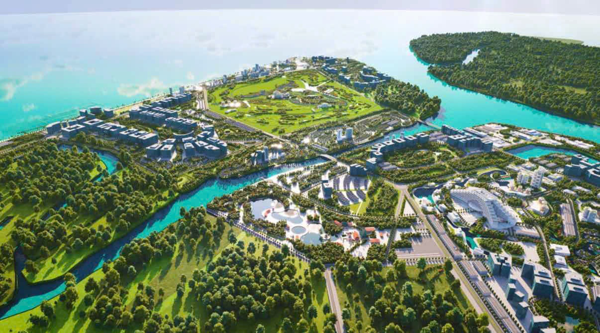 |
| Rendering of the Ba Lat Liquid Cargo Port project in Hung Phu commune, Hung Yen province. Photo: Hung Yen provincial portal |
These factors will also determine how effectively the port areas connect with industrial parks, economic zones, and the interregional transport network.
Hung Yen is proposing studies to adjust its seaport planning to accommodate larger vessels. One option is a port in the Diem Dien area capable of receiving vessels of up to 200,000 tonnes to serve Hung Yen Free Economic Zone.
At a June 23 working session with an MoC delegation on maritime and inland waterway infrastructure development, the province proposed support for adjusting seaport planning and developing inland waterway infrastructure to increase transport capacity and ease pressure on roads.
The MoC expressed support for studying the development of Diem Dien Port. It also called for assessments of the project's feasibility, its capacity to accommodate large vessels, and its compatibility with Haiphong's development orientation for Nam Do Son Port.
A port capable of receiving 200,000-tonne vessels could provide an additional option for maritime infrastructure serving Hung Yen Free Economic Zone, subject to the necessary conditions being met. However, the proposal remains at the study stage. Its scale and implementation plan require further assessment of maritime conditions, cargo sources, investment efficiency, and connectivity.
Logistics development is another long-term priority. On October 19, Hung Yen People's Committee heard a report on the outline of a project to develop Hung Yen's logistics system through 2035, with a vision to 2050.
The project aims to assess the current situation, identify demand, and study the development of logistics centres, inland container depots, warehouses, transshipment hubs, and a multimodal transport network serving industrial and agricultural production, as well as import and export activities.
The efficiency of connections between seaports and production zones will depend substantially on the logistics network. Planning for logistics centres, inland container depots, warehouses, and transshipment hubs must therefore reflect cargo sources, transport links, and business demand rather than proceed as a series of disconnected facilities.
Hung Yen's coastal growth potential extends beyond the development of new roads and port facilities. To translate its geographical advantages into stronger investment appeal and competitiveness, the province needs to align provincial planning, the national seaport master plan, transport infrastructure, and logistics services.
Integrating these components will help the coastal economic area contribute more effectively to regional production and transport networks.
 | Foreign direct investment expands across Hung Yen industrial zones Manufacturing enterprises from Northeast Asia increased direct foreign investment into northern Vietnam's Hung Yen province to leverage regional industrial infrastructure developments. |
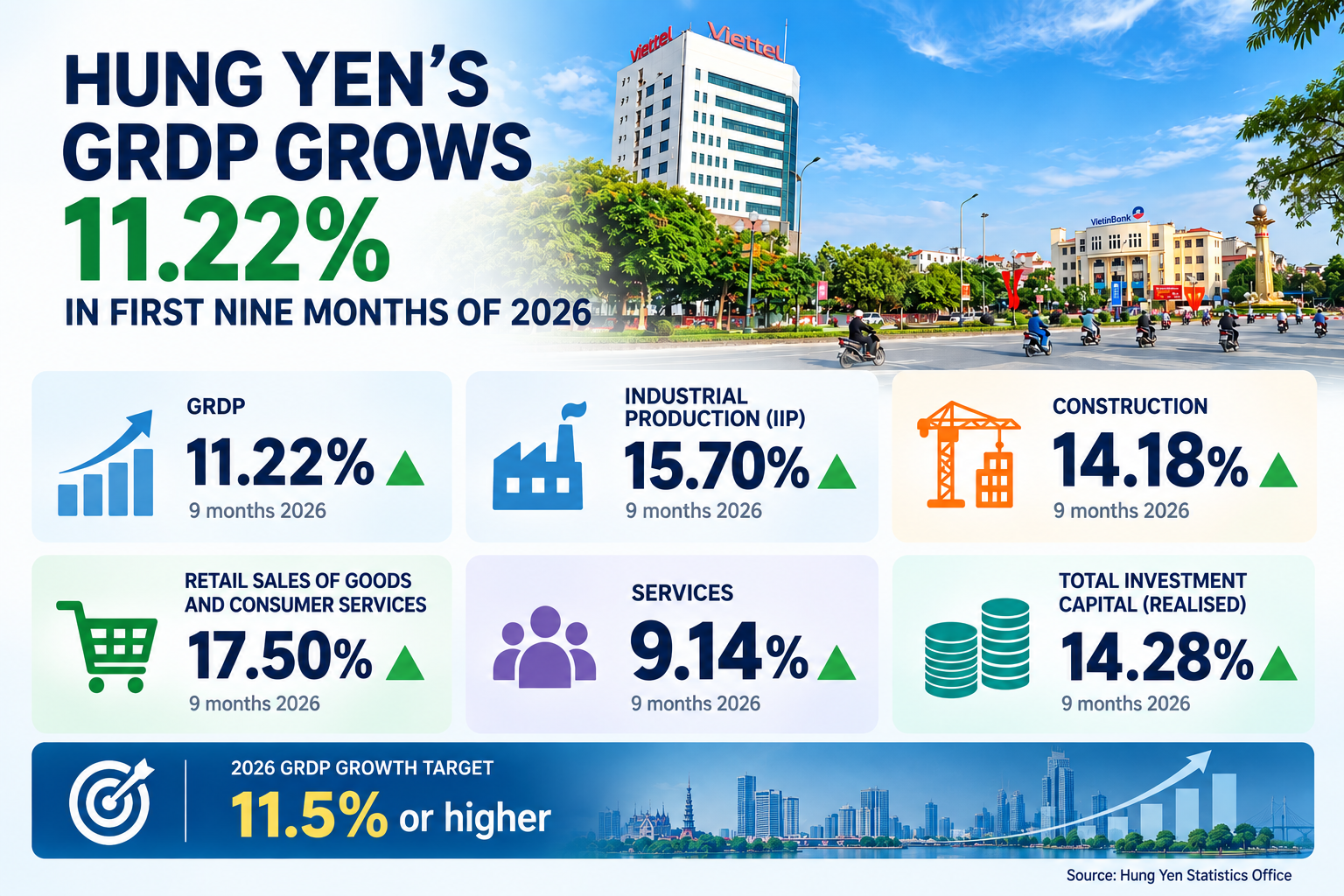 | Hung Yen’s regional GDP beats expectations Hung Yen’s regional GDP grew 11.2 per cent in the first nine months of 2026, exceeding the 11.1 per cent growth scenario, with industry remaining the key growth driver, supported by construction and investment. |
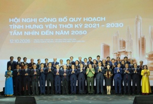 | Hung Yen unveils adjusted master plan with three economic zones Hung Yen's adjusted provincial master plan for the 2021–2030 period, with a vision to 2050, establishes a development framework of three economic zones, two corridors, and seven development axes, providing a basis for reorganising economic space and mobilising resources in the new phase. |